

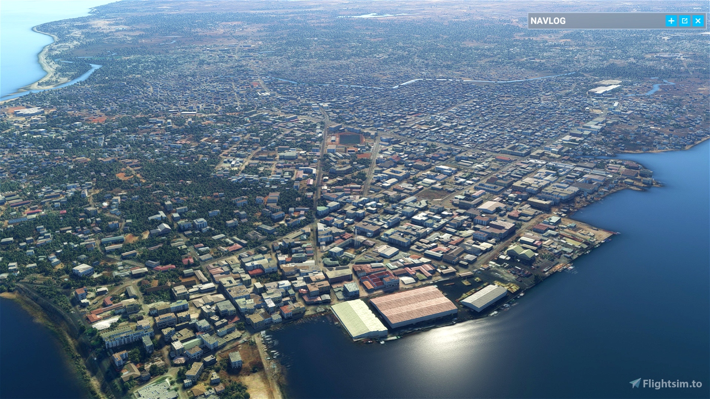

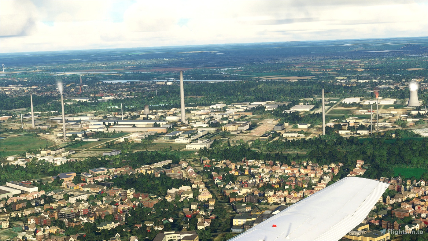
This is pure flying. Not the intention of looking at the environment, just fly. It is 2069 nautical miles divided over 24 legs. Fly from NDB to NDB and land on the nearest airport/airfield. However, between the airports there is room for explanation on Madagascar. The captain will tell you some of Madagascar’s history.
Why NDB flying? With GPS getting more and more used there is no longer justification the keep the NDB stations alive. In a lot of countries NDB beacons are closed down and cannot be used anymore. I found Madagascar has still a substantial number of NBD beacons. There is the aim, not the country but the beacons.
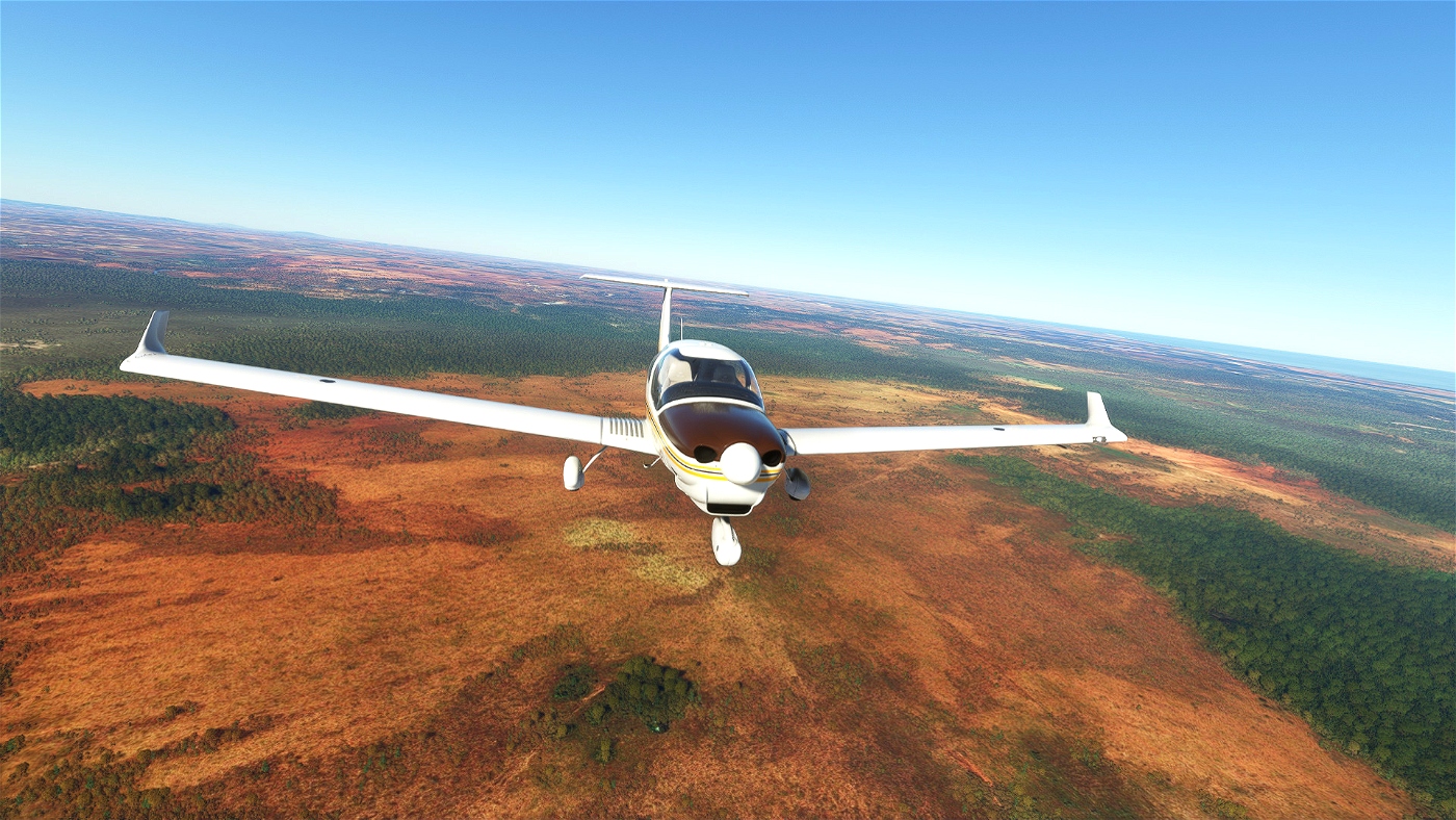
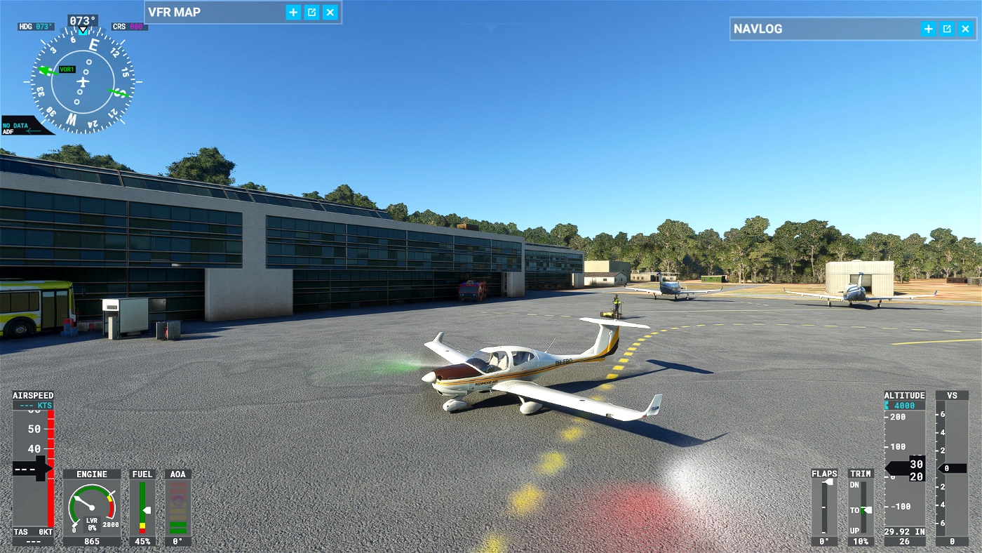
You fly in a Diamond DA40 NG, which you will find cold and dark on the parking, if there is one. If there is no parking, the plane will be waiting on the runway. The plane is easy handle, just pay attention to the fuel button. It does not switch automatically from left wing tank to right wing tank. Furthermore, you have to watch your fuel consumption because not all fields sell fuel.
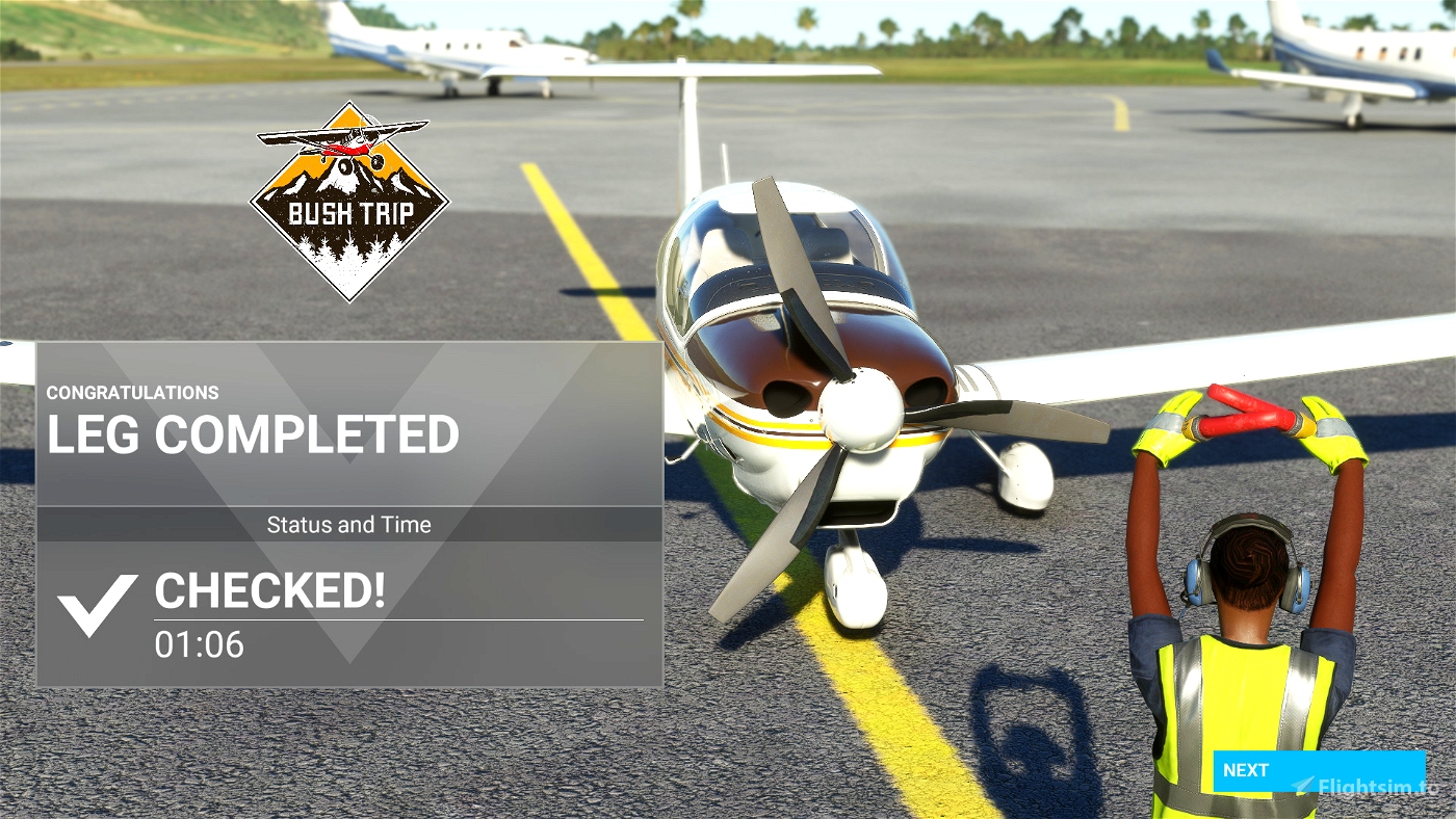
After landing you have to park the plane, preferable on the parking, if there is none, well leave it where you are. But, remember to close the plane down, engine off, avionics off, parking brake set, electricity off. If you omit this the leg will not close.
Enclosed
· The trip to be installed in your community folder
· A pdf file containing the flight plan from Little NavMap
· A map of the trip
· A map with all waypoints
· Flight book.
· List with airports with fuel.
The trip is written in English and machine translated to, German, French, Spanish, Italian, Portuguese and Swedish.
The trip is made with the aid of Little NavMap and BushTripInjector. Thanks to Alexander Barthel and BuffyGC for creating and maintaining this excellent software. The information on Madagascar is retrieved from Wikipedia.

 Frontech

