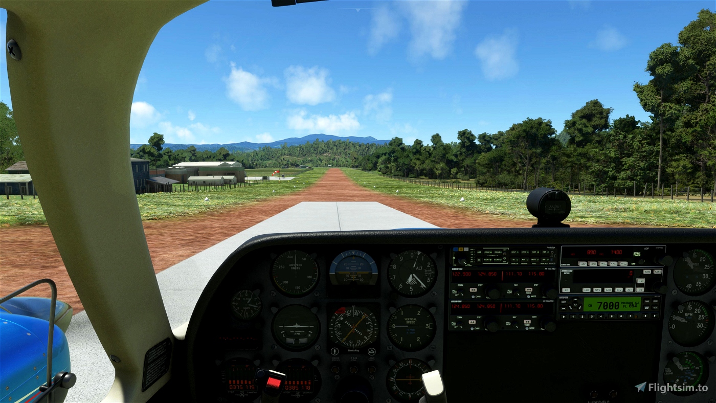

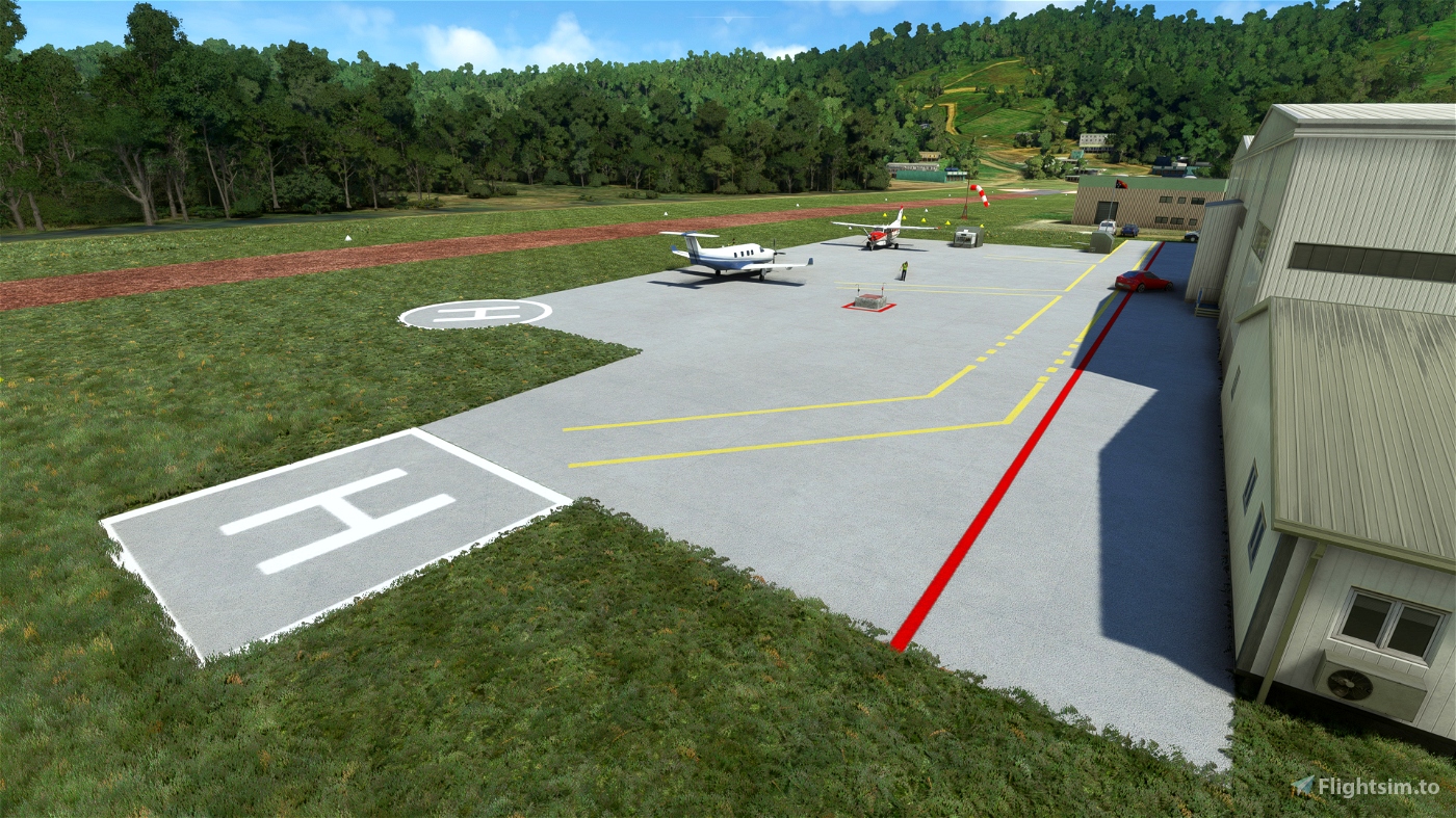
This just tidies up the area a little... and better defines the extents of the runway (showing it's full length for one thing: though it tends to get a little close to the road). Granted the runway is potrayed a little more "idealized" than in reality, but neither does it fade into a low rez amorphous texture at the north-west end of the runway.
I'm also using my cones which I've added huge transparent footprints to, in order to fool MSFS into thinking they're the size of large houses so that they stay visible at longer distances.
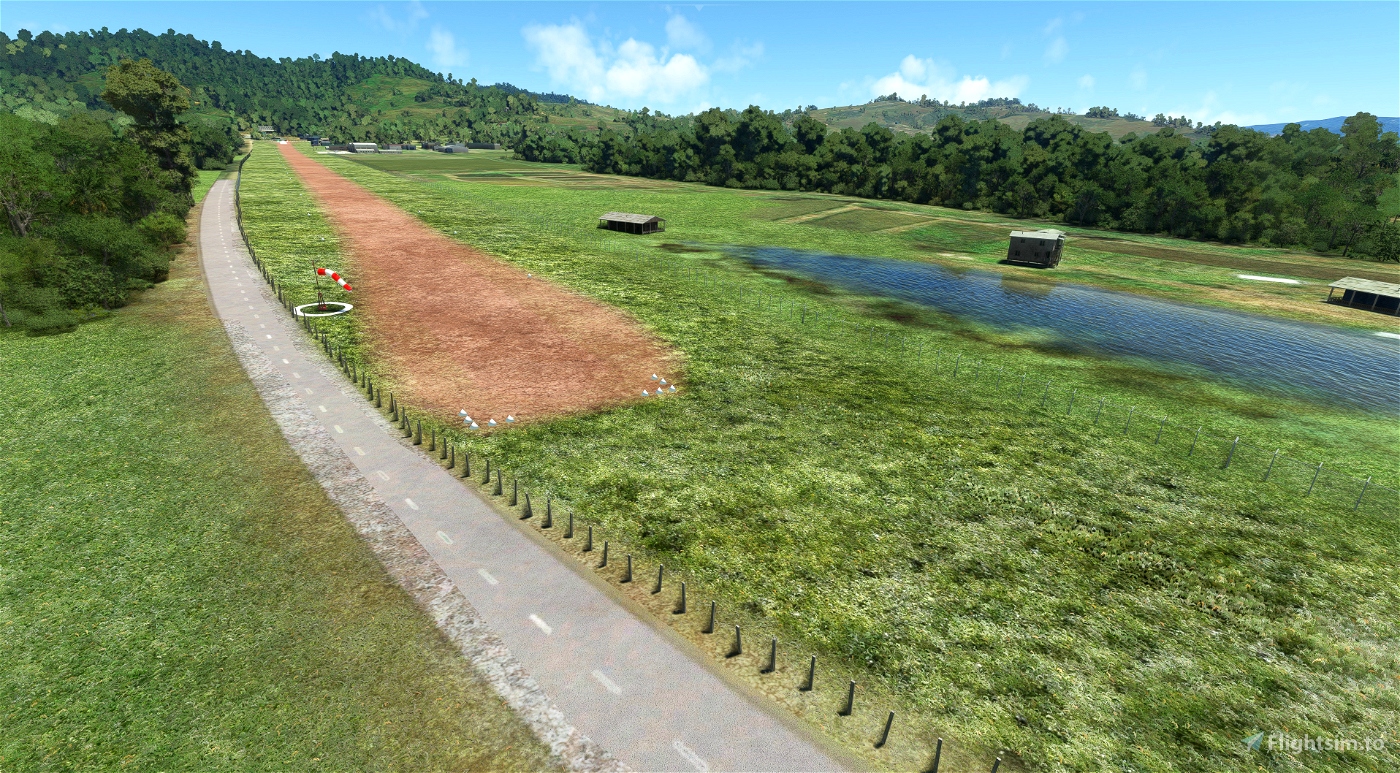
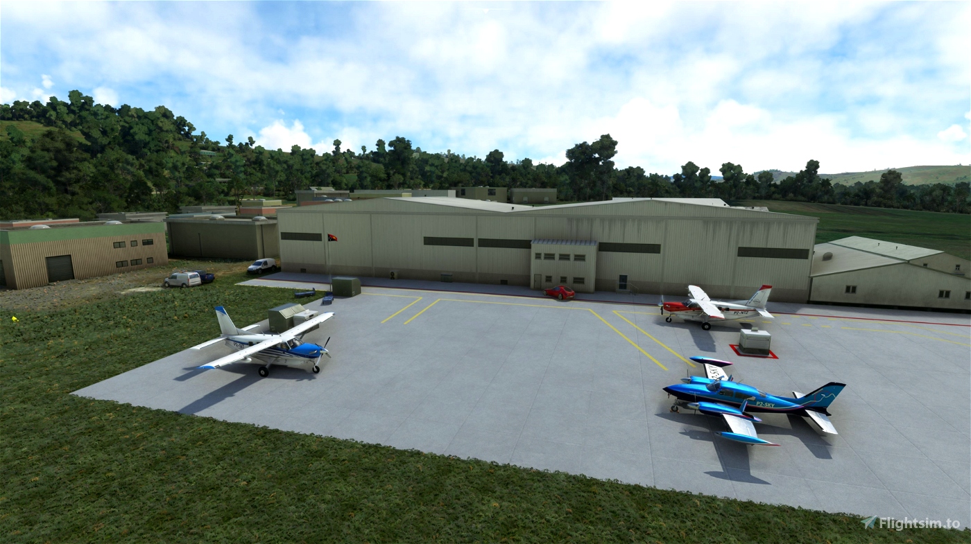
The trees lines and grassy areas were updated based on the latest imagery from Google Earth--which was quite different than the default scenery.
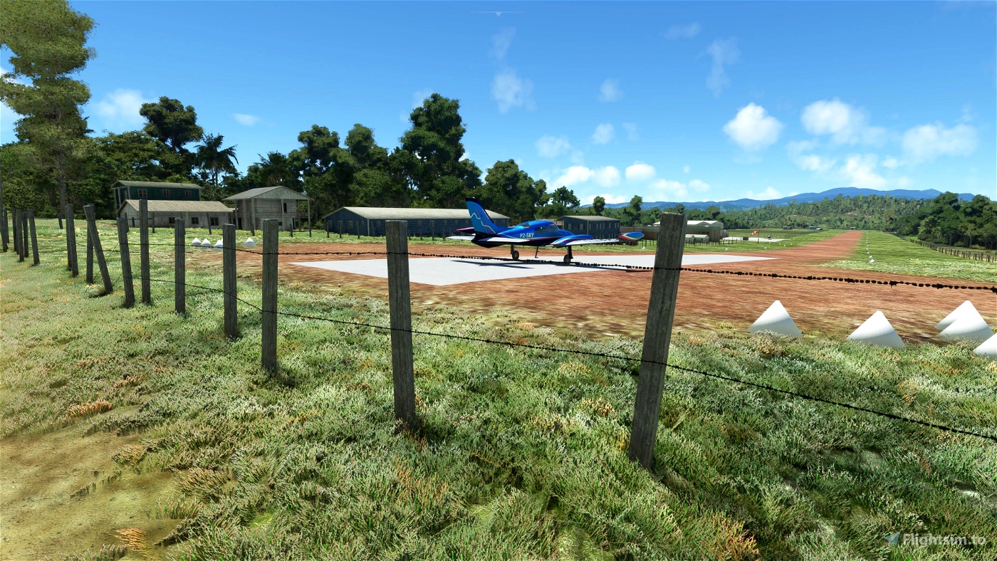
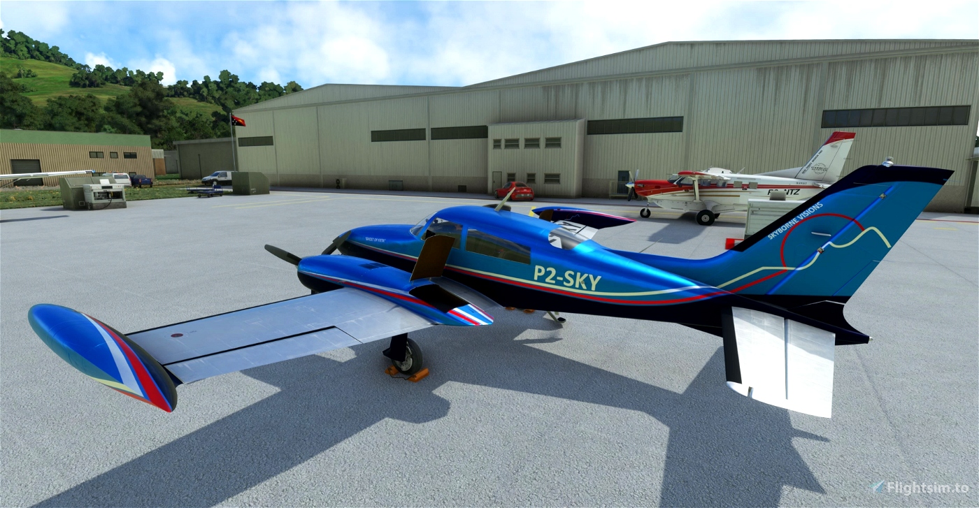
The AI hangars are pretty good (bigger and fancier looking than reality though). If I get time I may try to model these myself (not that I have great pics from @Robroy; however, I'm not a great modeller and not sure when I'd get around to trying Blender again; so if anyone is up to that task to include with this scenery that would be great!
I added two windsocks (including one in its actual location) at the NW end of the runway, and cleared away the trees (which no longer exist there) and added the pond water. Any suggestions on getting better results with water in the SDK, please let me know: it seems the ability to texture what's under the water no longer seems to work.
The second windsock (near the hangars) is not there in reality; as the real one is mounted on the roof of one of the hangars, but I don't know an easy way to do that myself, and I wanted a windsock near the apron (visible from take-off end of the runway as well) to get an idea of what the wind is actually doing.
The paved section at the south-east end of the runway is a little idealized--probably wider than reality.
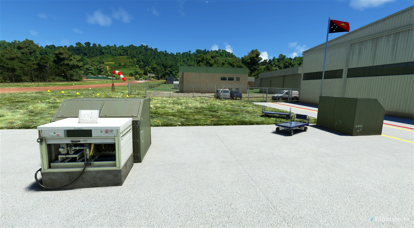
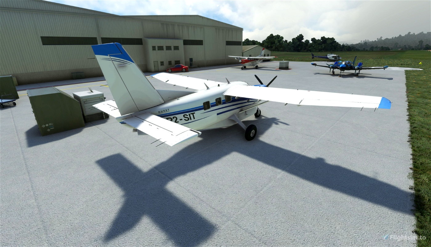
Painted lines on the apron are approximations based on recent photos sent to me of the area.
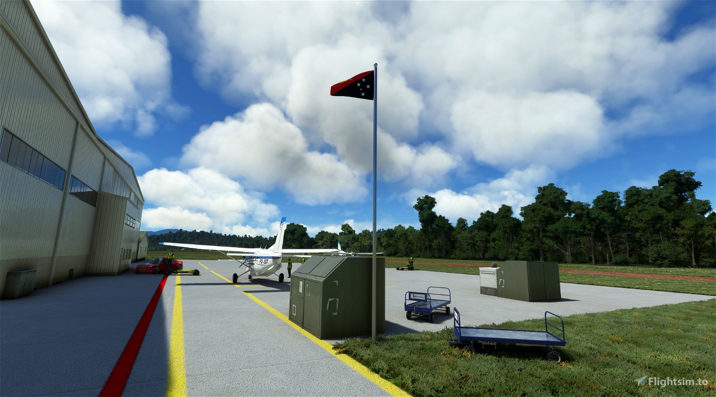
Two fueling pumps are also located at the apron (based on photos).
Aiyura airport is home to SIL Aviation, (the aviation wing of a linguistic missionary organization) that also provides maintenance for other mission organizations like Ethnos 360, who Ryan the "Missionary Bush Pilot" on YouTube flies for.
The PNG Flag requires the fabulous "Windy Things" addon to be installed in your community folder.
***I used Google Earth as a reference but no textures from Google Earth were used in this addon***
I used Ozzieblr's awesome skins for the Kodiak 100 featuring both SIL Aviation and Ethnos 360 in some of the included screen shots:
SIL Aviation: https://flightsim.to/file/25333/kodiak-100-sil-aviation-png-4k
Ethnos 360: https://flightsim.to/file/28450/kodiak-100-ethnos360-new-tribes-mission-missionary-bush-pilot-v3-0-default-panel

What was the previous filename?
11 months ago
I believe it was "sv-airport-ayu-kainantu". I changed the last two words to match the new naming of the airport after Oceana update (which is also more accurate).
11 months ago
SkyborneVisions
newtestleper
Thanks! I've collected a few Aiyura-related videos here... https://youtube.com/playlist?list=PL8LcBwWktAlmG4Kx29kvci0fsgIeAXPxP
2 years ago
I see one of my videos is included in your collection.. Ha. I'll have to check out the others... thanks for the link! and the pics and diagram you sent. I've added varying slopes to the runway (up to 2%), fixed up the runway textures so its more "naturally" blends with the grass better, and am adding fence lines. Should have an update by the weekend.
2 years ago
SkyborneVisions
robroy