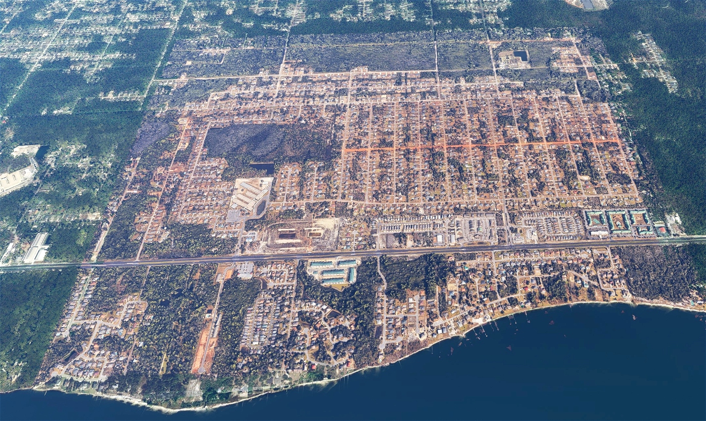


Navarre - FL - USA
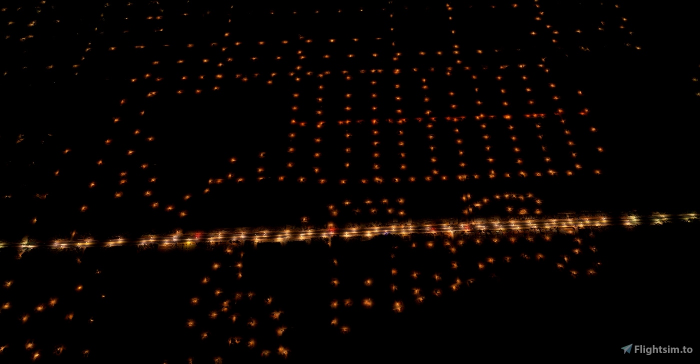
I have spotted an issue that I did not manage to solve. If you check the picture with the red highlight, you will notice that there is a spot in 2D. This happens sometimes. I tried to use the new script from Thalixte, but it did not solve this particular issue though.
Feel free to suggest new sceneries and check the progress of the ones that are in my to-do list by having a look at my enjoy.it.fly portal : https://spaghett.is/enjoy.it.fly/todo-list
Sub and Check my YT channel for more videos https://youtube.com/enjoyitfly
Have a look at my TikTok too :-D https://www.tiktok.com/@enjoy.it.fly
Big thanks and credits to
Jonahex111- Google Earth Decoder
Thalixte - Google Earth Decoder optimization tools

 EnjoyItFly


2 months ago
2 months ago
EnjoyItFly
Mr_JWC
Cool, I lived here for like a year. Just curious why not the whole town of Navarre and just this section though? The place I lived is to the east of the area you modeled. Just curious!
1 years ago
I usually try to center the scene on a place that "to my eyes" look interesting. But not knowing the city, for sure I miss loads of things or do totally wrong judgments :-D Just note that in that particular scenery, some portions have not been retrieve with 3D photogrammetry (as highlighted in the last picture). This is due to the script that retrieves the data from Googlemaps and sometimes gets older tiles :-(
There is also a limitation of the "coverage" size, it it around 1.6 x 1.6 miles. If I select a bigger area there is a risk of being banned by google... for "dumping" too much information.
I hope this gives you a bit of clarity :-D
Cheers
1 years ago
EnjoyItFly
DxMarovitch
Pretty cool seeing my hometown make the mods lol, nice work and thanks!
1 years ago
gingerbetic