

POI Billboards of Poland
Now the VFR dream comes true!
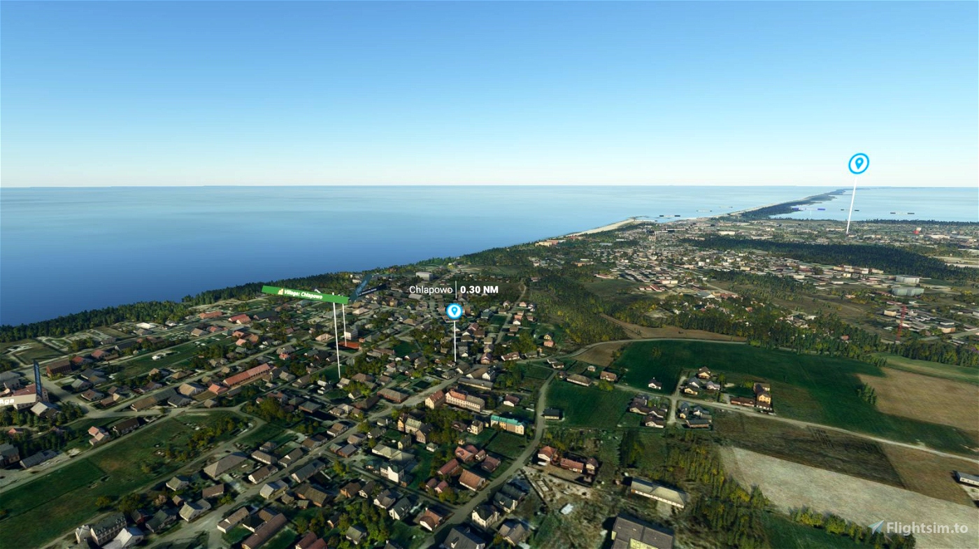
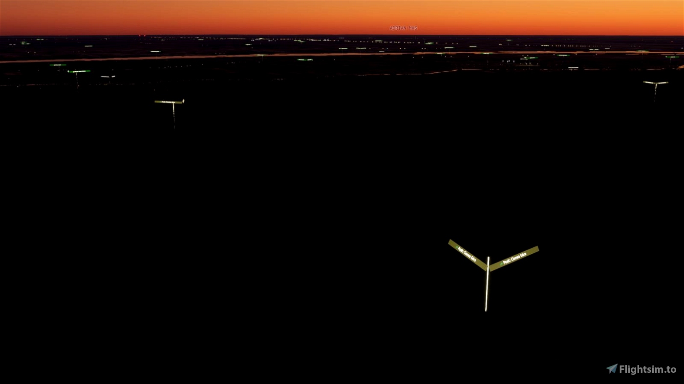
Now it is possible to have a detailed information on the area seen 1000 feet below you, injected directly into the scenery!
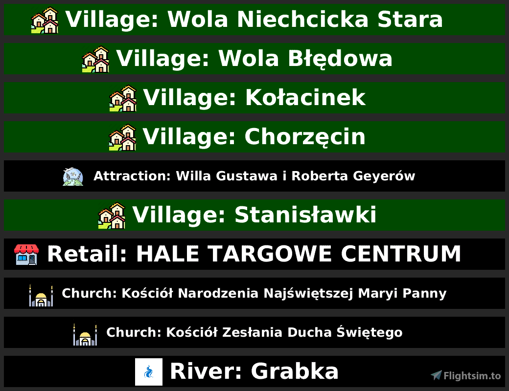
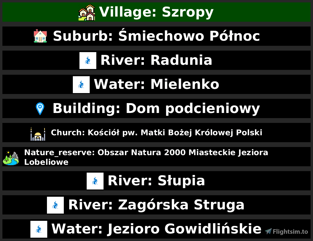
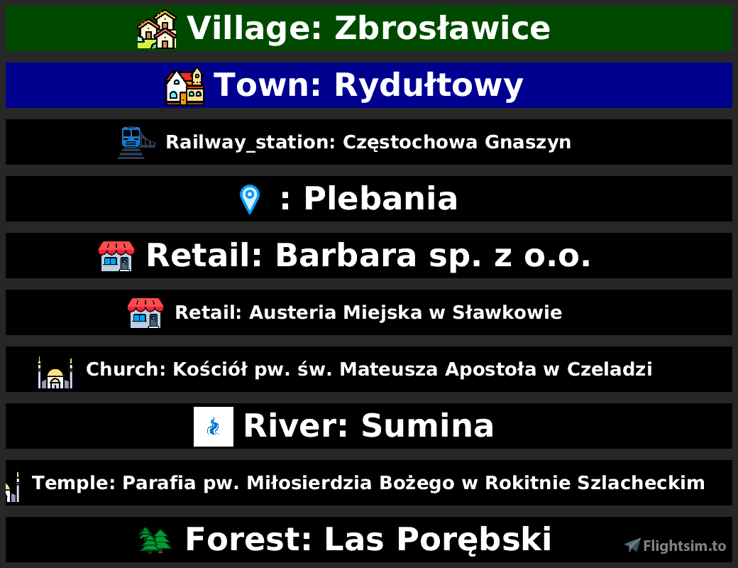
This upload will add POIs as “POI Billboards” - MSFS static scenery objects, for a given country/area, brought to you by 3DSpotters Team.
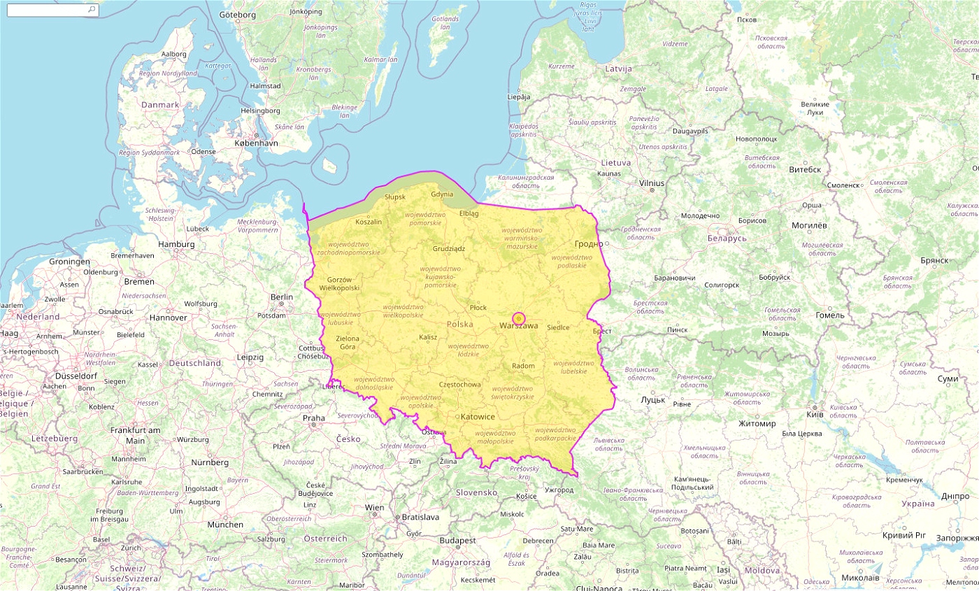
Here is Poland with 140982 POI points
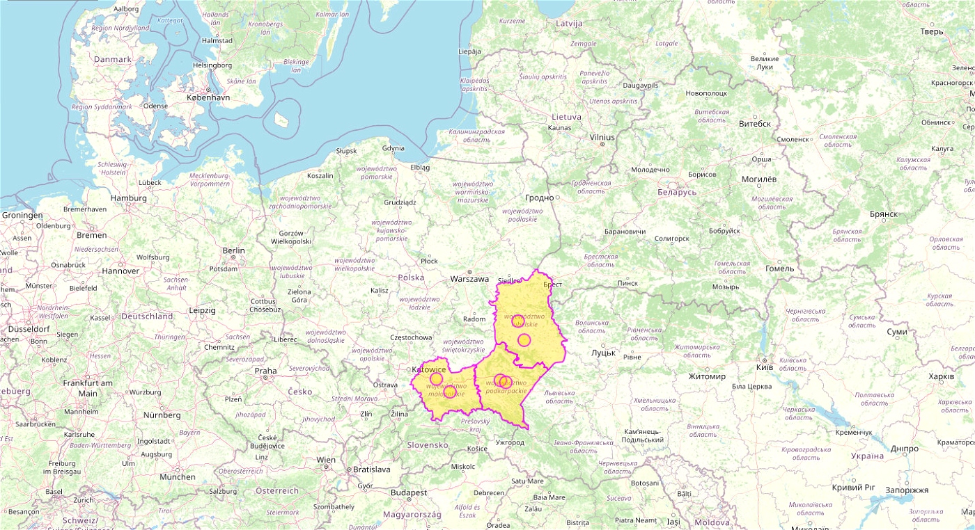
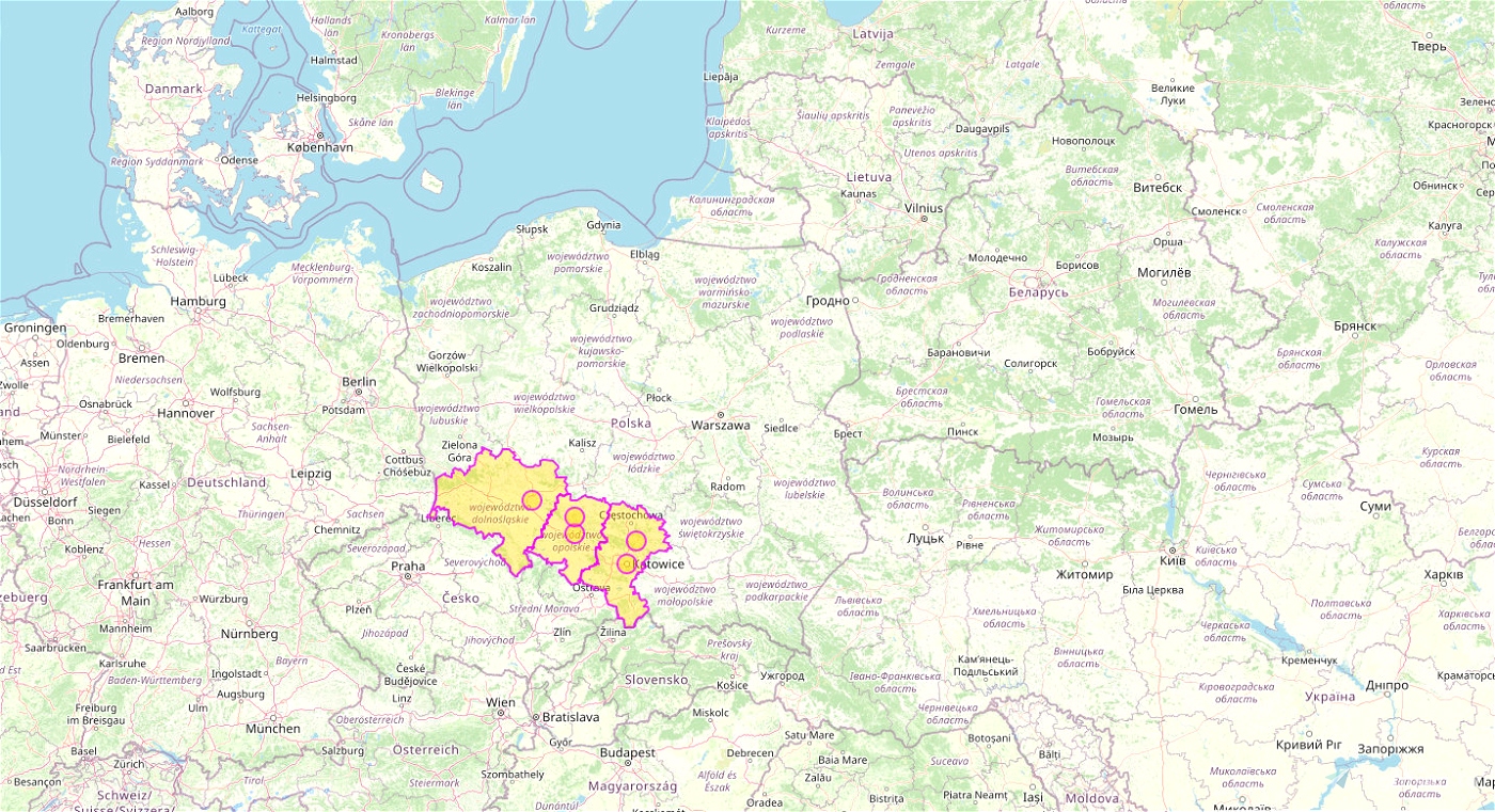
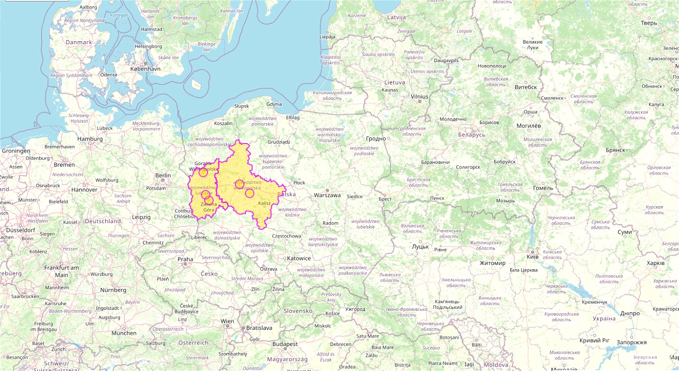
broken down to region (all included):
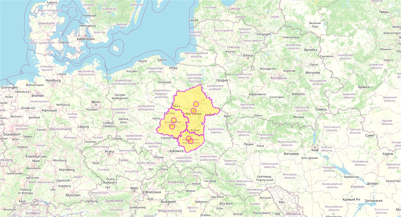
Poland Masovian Voivodeship PL-CE-MAZ 16418 POI points
Poland Lodz Voivodeship PL-CE-LOD 9590 POI points
Poland Swietokrzyskie Voivodeship PL-CE-SWI 4760 POI points
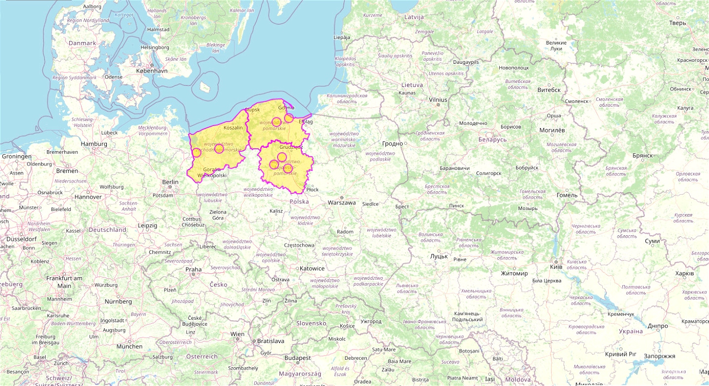
Poland West Pomeranian Voivodeship PL-NW-WPO 8288 POI points
Poland Pomeranian Voivodeship PL-NW-POM 8422 POI points
Poland Kuyavian-Pomeranian Voivodeship PL-NW-KUP 7988 POI points
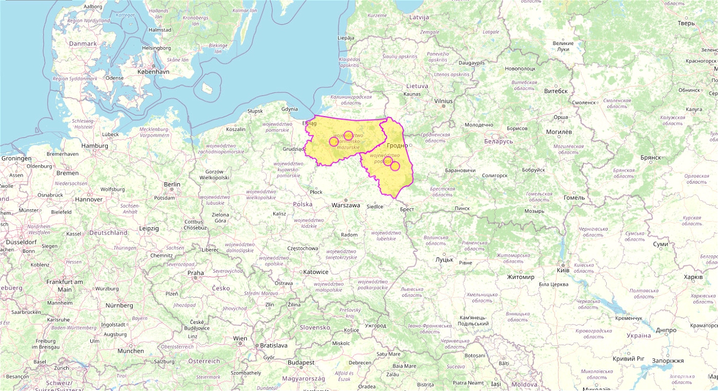
Poland East Warmian-Masurian Voivodeship PL-NE-WAM 6958 POI points
Poland East Podlaskie Voivodeship PL-NE-POD 6158 POI points
Poland West Lubusz Voivodeship PL-WE-LUB 5122 POI points
Poland West Greater Poland Voivodeship PL-WE-GPL 11700 POI points
Poland South East Lublin Voivodeship PL-SE-LUB 9113 POI points
Poland South East Subcarpathian Voivodeship PL-SE-SUB 9530 POI points
Poland South East Lesser Poland Voivodeship PL-SE-LSP 10300 POI points
Poland South West Lower Silesian Voivodeship PL-SW-LSI 12818 POI points
Poland South West Opole Voivodeship PL-SW-OPO 4054 POI points
Poland South West Silesian Voivodeship PL-SW-SIL 9763 POI points
Refer to the included maps.
You may turn ON/OFF each part independently.
Please also check our "POI Billboards of" series for other countries.
To install
Drop the scenery folder from ZIP to the Community folder or (preferably) use any of good MSFS Addon Linkers.
A Technology
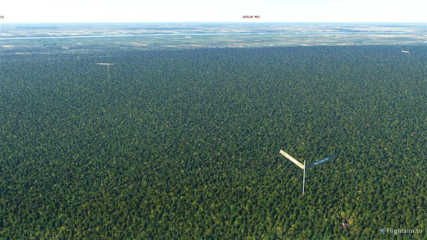
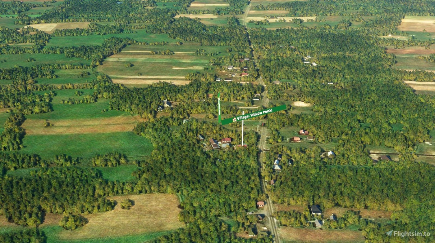
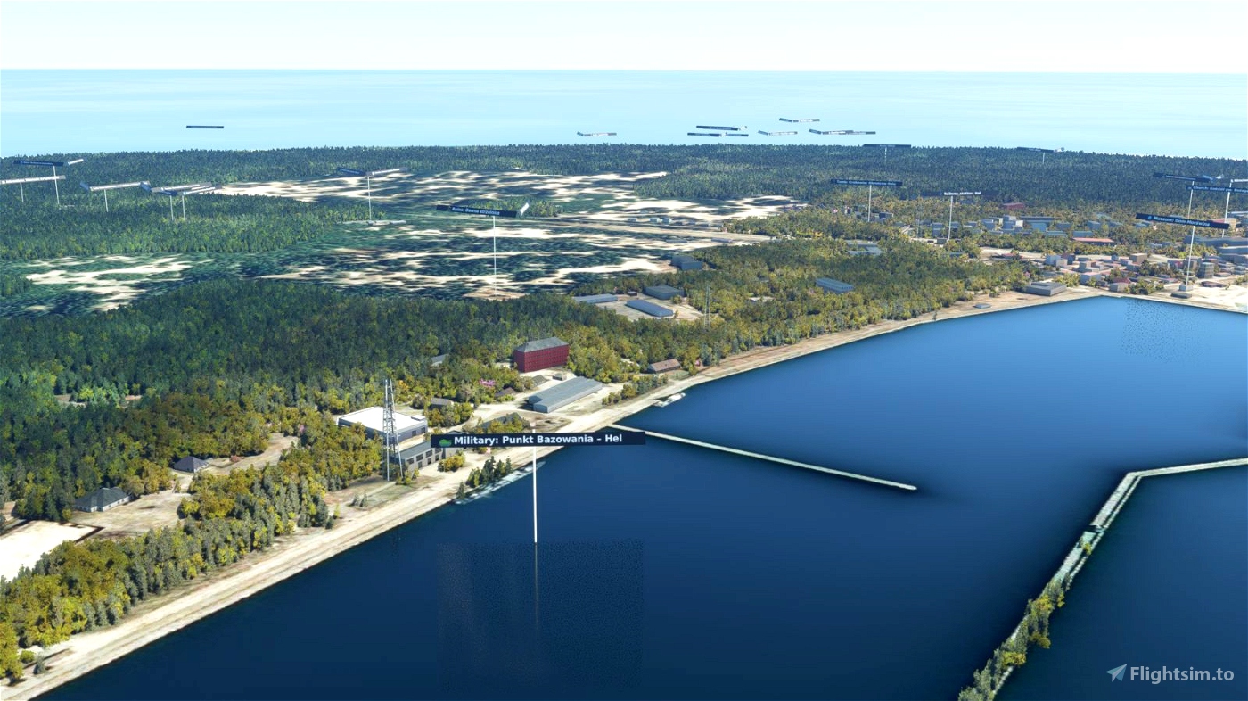
POI Billboards, that you will download here, are based on a completely different mechanism than Microsoft/Asobo built-in POI’s. That way you will get thousands (and I mean thousands) of billboard signs scattered all over the country, based on OpenStreetMap (OSM) information, supplied by OSM contributors, with minimal to non-existent FPS hit. You can see a lot of information at once: cities, towns, villages, attractions, train stations, temples, lakes, rivers, island and so on (assuming you have good eyes and paused the simulator). POI Billboards were designed to provide this information to the simmer, while not obscuring the landscape too much and keeping FPS high (well, you will judge).
HOW-TO
=> minimize MSFS loading times:
The only possible using scenery drawback could be extended MSFS loading time, so to minimize the time try the usual ways:
turn OFF Windows File Indexing feature on the disk,
switch ON only the scenery you will really fly VFR in a minute,
keep your sceneries on SSD disks, preferably on M.2 ones,
do the same with all other sceneries/aircrafts/liveries :)
=> minimize scenery size on a disk:
turn ON Windows File Compression feature on the disk; it should have advantage to give you 40% disk space gain and processing overhead should not be high on the other side.
Credits
Credits go to:
OpenStreetMap Authors & Contributors at: https://www.openstreetmap.org
Overpass-Turbo service at: https://overpass-turbo.eu/
WinHour, member of 3DSpotters team, for JAVA POIOSM2FS software tool at: https://github.com/Winhour/POIOSM2FS-Converter
For additional information please refer to docs/files saved on this (first) scenery main folder (when unzipped to Community or elsewhere).

 RipPipPip


I am waiting on the state of Louisiana USA
3 years ago
<attached to The List>
3 years ago
RipPipPip
rcla39652
Thanks, I'm looking forward to use that along with Germany that you also created.
3 years ago
Yessss, it is all about sightseeing...
3 years ago
RipPipPip
THartmann9374