Following the course of the 28-mile (45-km) River Wyre from its source in Lancashire’s Bowland Fells to its mouth between Fleetwood and Knott End on the Fylde coast.
I recommend something that can fly low and slow to enjoy the views. I used the Edgley Optica.
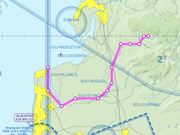
If you want to fly the route on autopilot, you can load the flight plan from the World Map screen. Otherwise, just load up at Oxenhope and follow along on SkyVector or your preferred VFR software.
***
Taking off from Oxenhope (EGOX), we fly 27 miles northwest into east Lancashire.
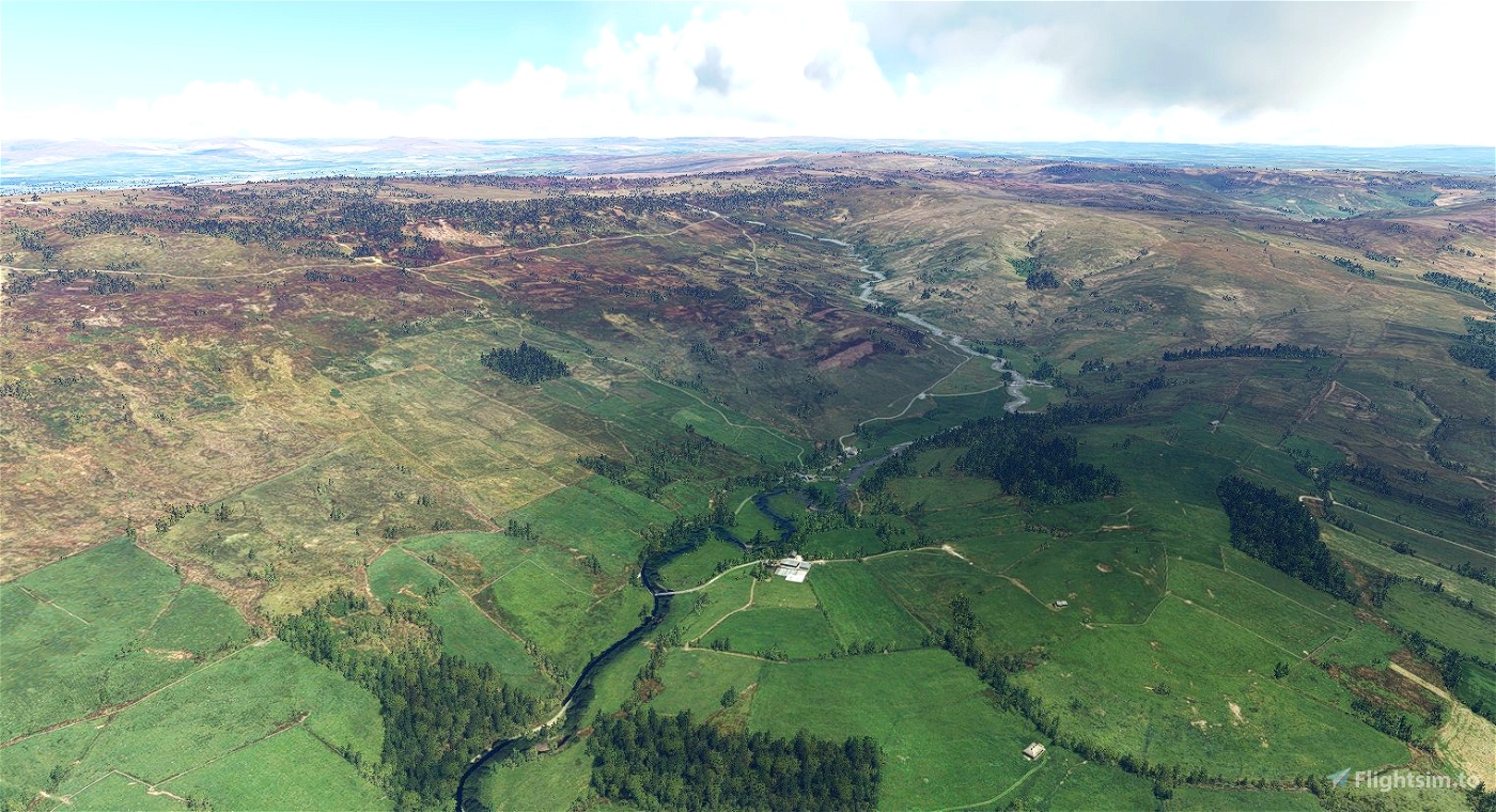
Turning west over the Forest of Bowland, the source of the River Wyre is the confluence of Tarnbrook Wyre and Marshaw Wyre just to the east of Abbeystead.
Passing over Abbeystead dam, we continue due west for a few miles, before turning south at Dolphinholme.
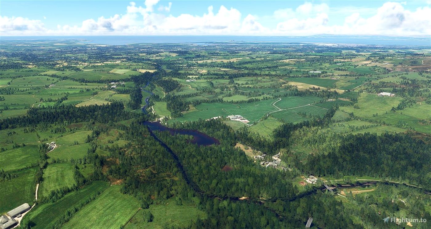
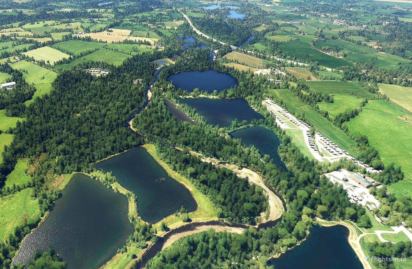
After passing over the grouping of lakes (which includes Wyre Lake) at Street, the river flows under the M6, then south between Cleveleymere and Scorton Lake.
We continue south for several miles to Garstang, where the river passes under the Lancaster Canal at the northeastern corner of Garstang Golf Course.
It then follows the western edge of the golf course before turning west again at Churchtown, where it passes under the A6 just south of The Avenue.
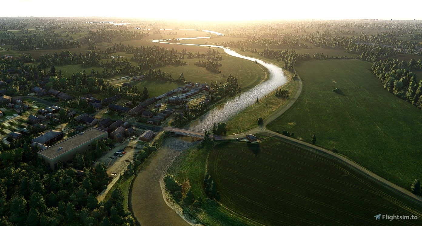
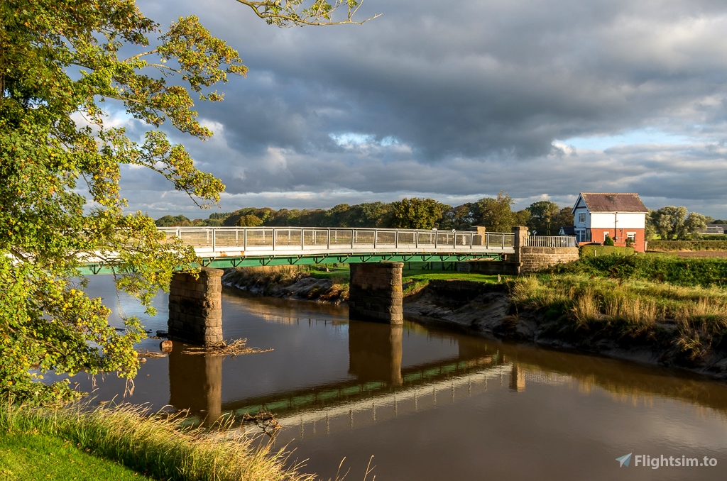
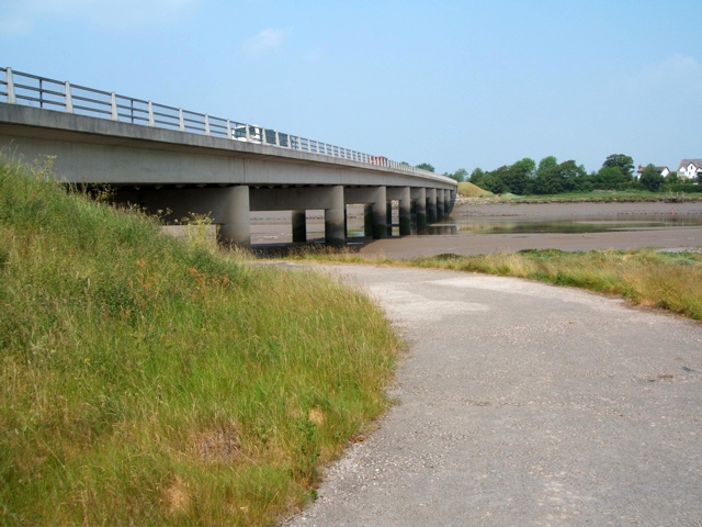
The River Brock flows into our river just to the east of St Michael’s on Wyre. From there, we continue west through Ratten Row, over Cartford Bridge, Windy Harbour and Little Singleton before turning north, passing over Shard Bridge.
The river widens at Skippool Creek, an important port, until the emergence of Fleetwood in the 1840s, used in the Middle Ages to receive goods from North America and Russia. It narrows again at Hambleton.
Its final stretch takes us through the Wyre Estuary at Stanah (on the left) and Staynall (right) and, finally, the river’s mouth between Fleetwood and Knott End.
We land at Brook Farm airfield (EGJF).
Just the course of the river can be seen on SkyVector here.

 newtestleper


Always a big fan of your work, this one is no exception. Thanks for sharing your time and talent my friend!
3 years ago
C0SM0S